Categories
Irish Sea Tour

Day 28 – Southport to Blackpool

Rain splattered my hotel window as I woke up. Happily several apps reported it was due to clear in a couple of hours. It was a very comfortable bed, so I gave myself another hour.

I binned everything I wouldn’t be using again and packed a little lighter for my final day. Then set off into town in the sunshine. I got a replacement bar end mirror from the wonderful chaps at Southport Cycles on Shakespeare St and directions to somewhere to get sunglasses to replace the ones I dropped yesterday.

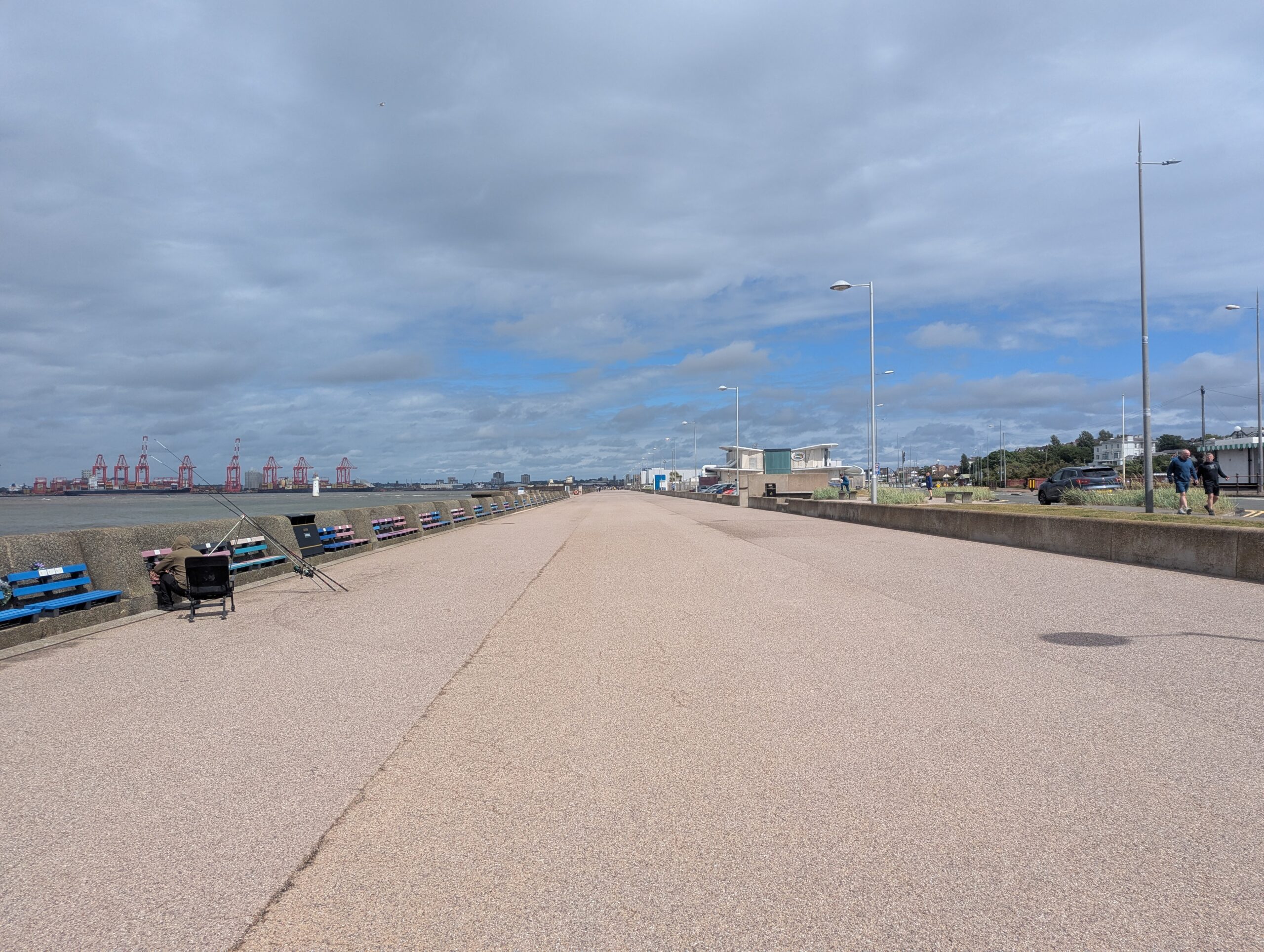
I left Southport along it’s impressively busy main street. It looked like a thriving seaside town with some class about it. It’s war memorial is something to see. A huge obelisk flanked by two impressive colonnades that hold the names of the fallen. All in the brightest of white Portland stone. The inscription on the obelisk reads “Look upward standing mute salute”. It is so grand, I think it has to be a national memorial of some kind, a placque corrected me. It was funded entirely by local fundraising.

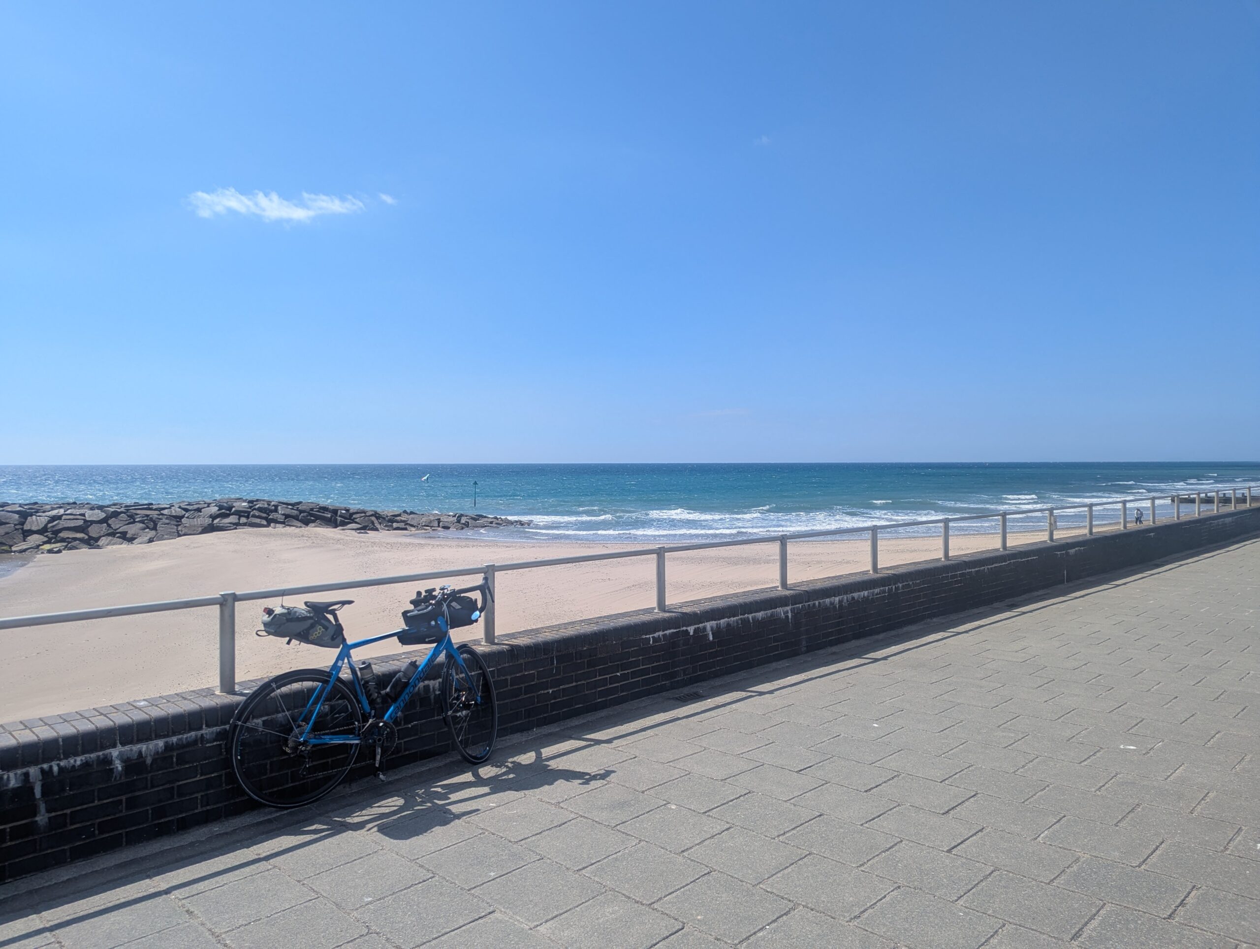
Back on the seafront cycleway, I could see Blackpool in the distance. The unmistakable curve of the big one rollercoaster at the Pleasure Beach and the point of the tower 10 miles away across the Ribble Estuary. It’s more than four times as far by road.

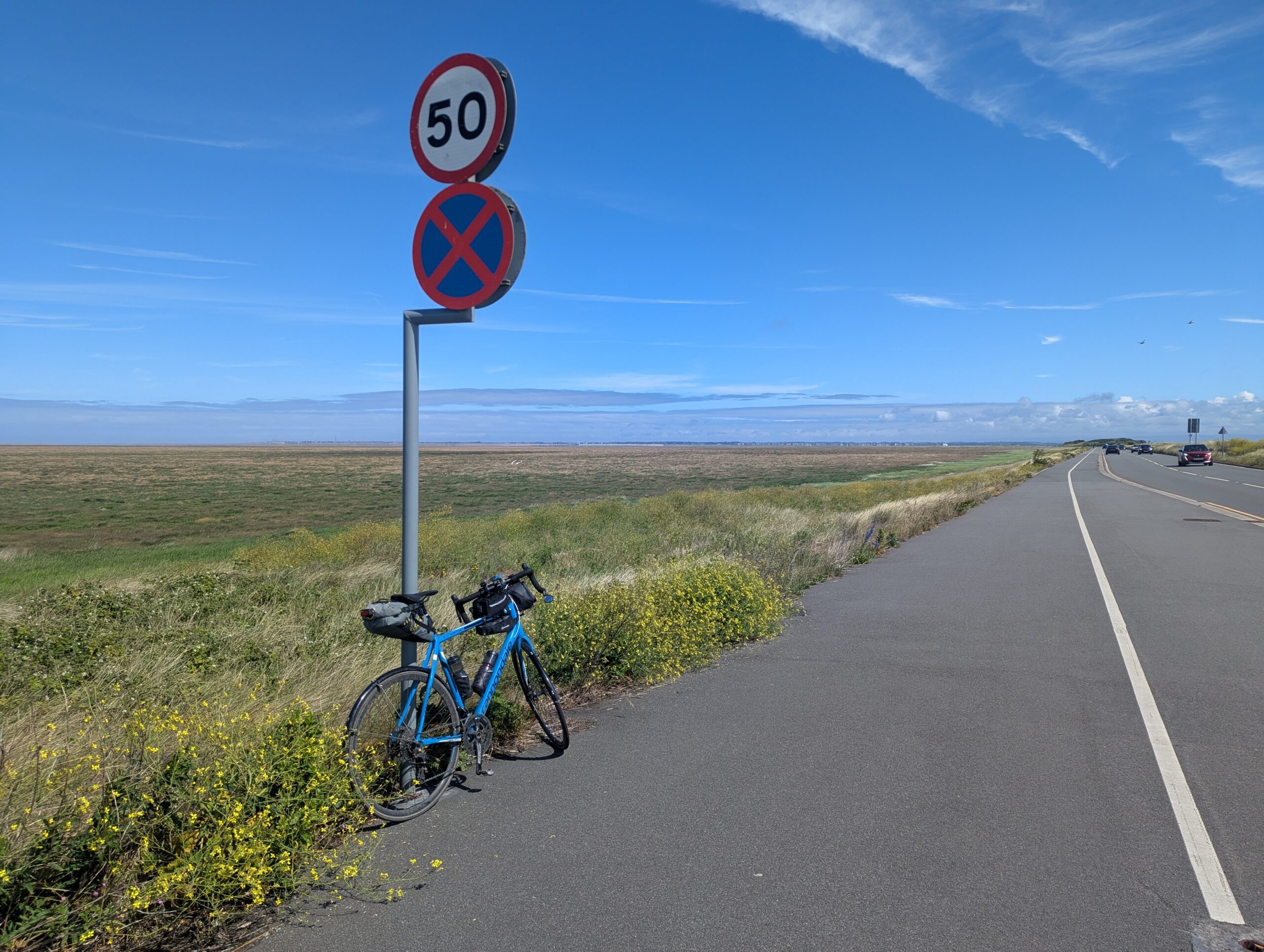
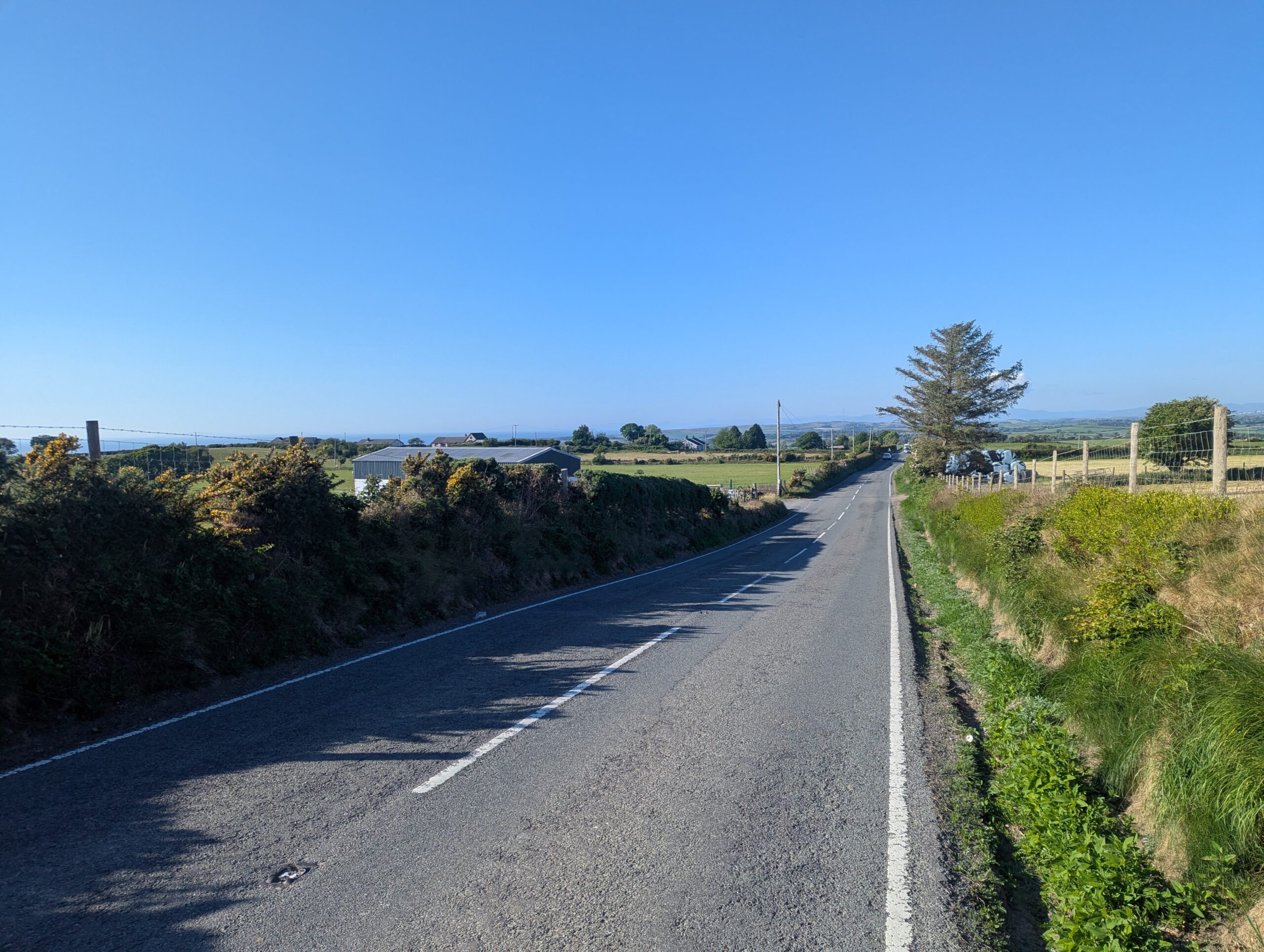
At Crossens the cycleway ran out and I was back on the roads. I followed Marsh Road and Shore Road out to Hesketh Bank, motoring along a lovely flat road pedalling easy with a generous wind assist. Between Hesketh Bank and Tartleton I got a free lesson in the road position a driver expected me to hold with a punishment pass aimed at forcing me towards the kerb. I demonstrated my discontentment with some expansive gestures and a stream of involuntary expletives. Just along the road I passed a steam roller and trailer was making its way sedately along the road.

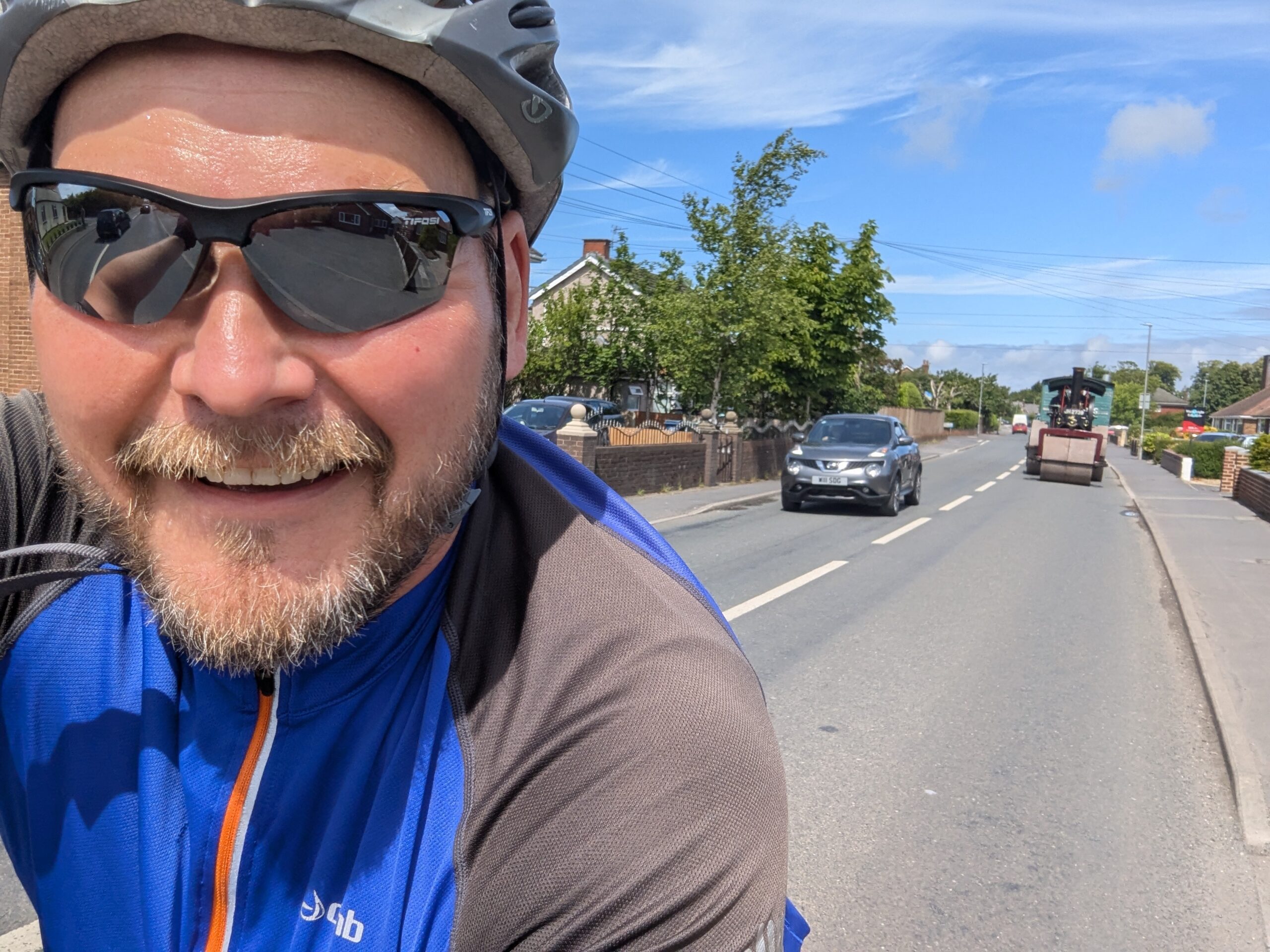
Riding on the A59 to Much Hoole wasn’t pleasant. When the road was wide and traffic had plenty of room to pass, there was a cycle lane. When it was narrower, there was no cycle lane. I turned off at Walmer Bridge to follow roads closest to the coast.

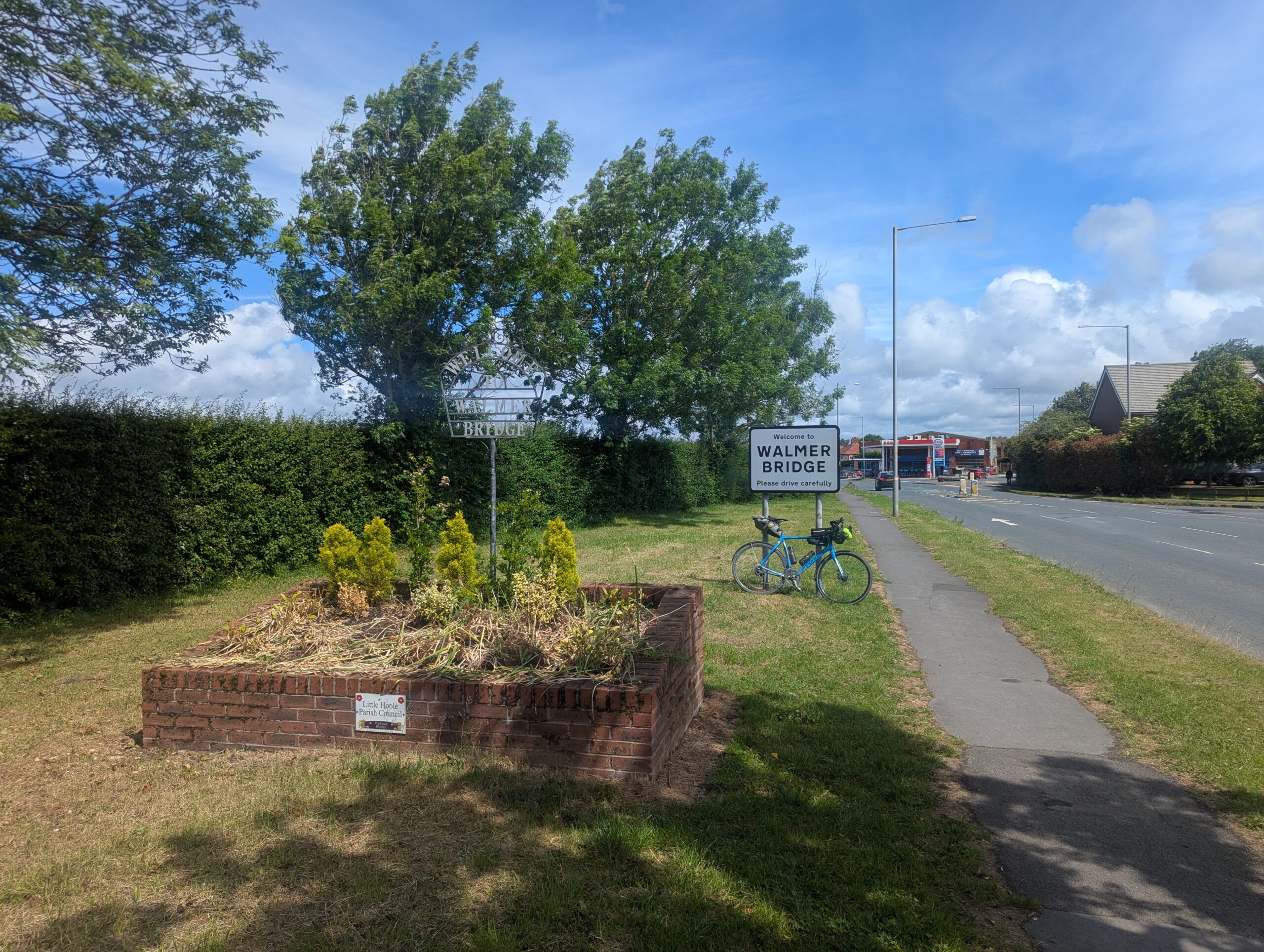
At Hutton where I joined the A59 again, there was a proper cycleway. I followed that through Penwortham and all the way into Preston, including experiencing a brilliant car/bike/pedestrian interchange, one of the best pieces of cycling infrastructure I’d encountered on the tour.

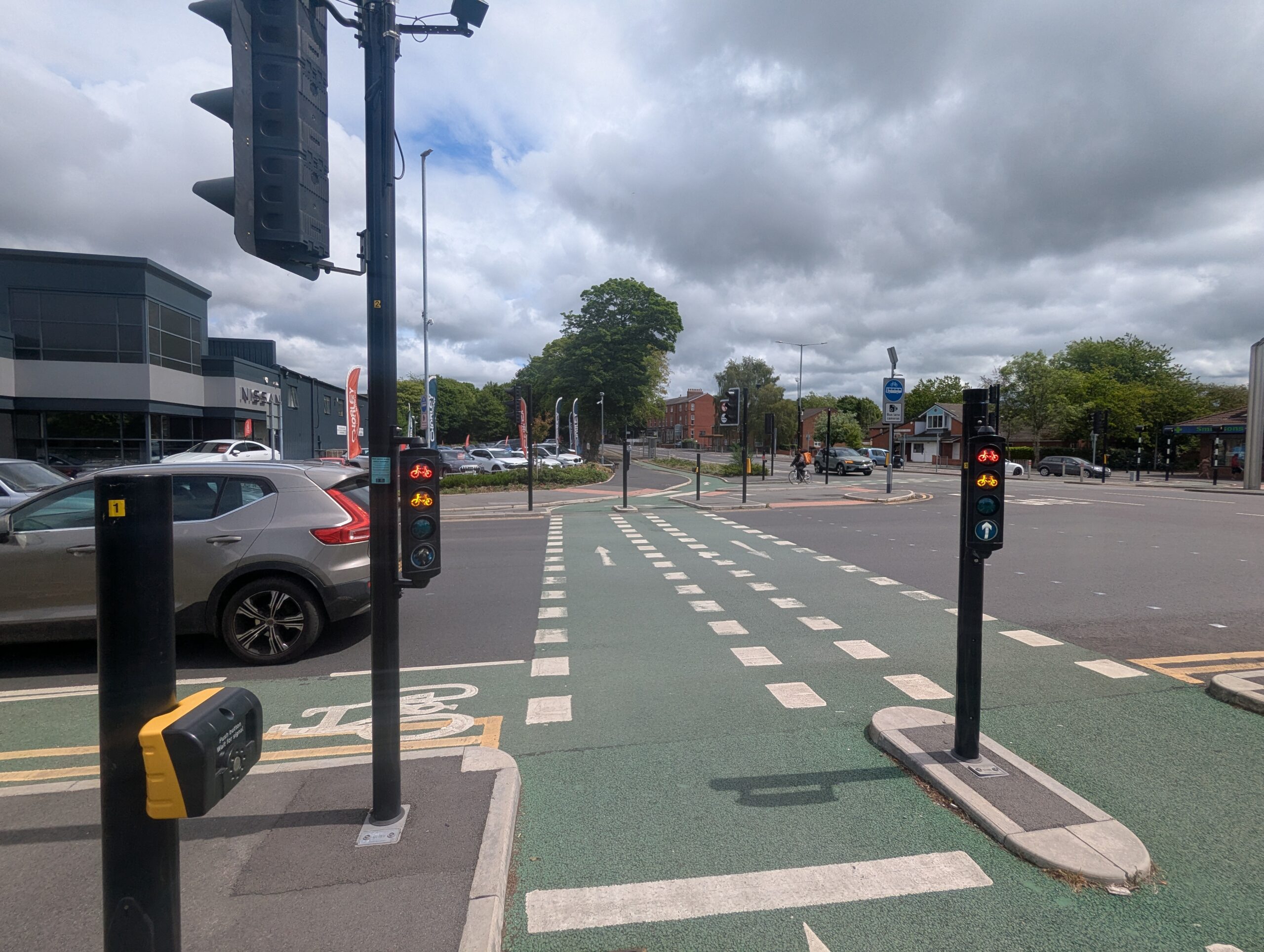
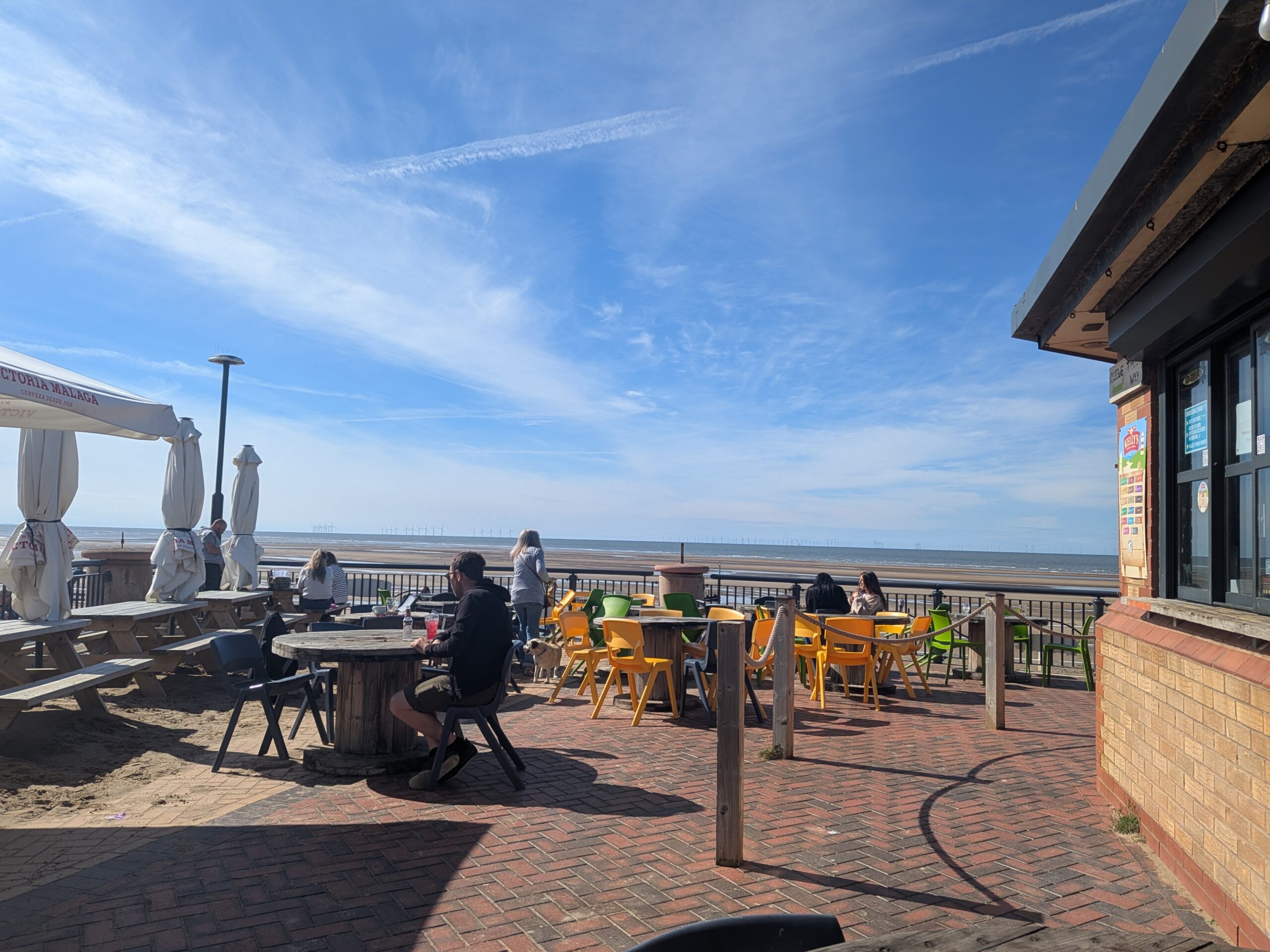
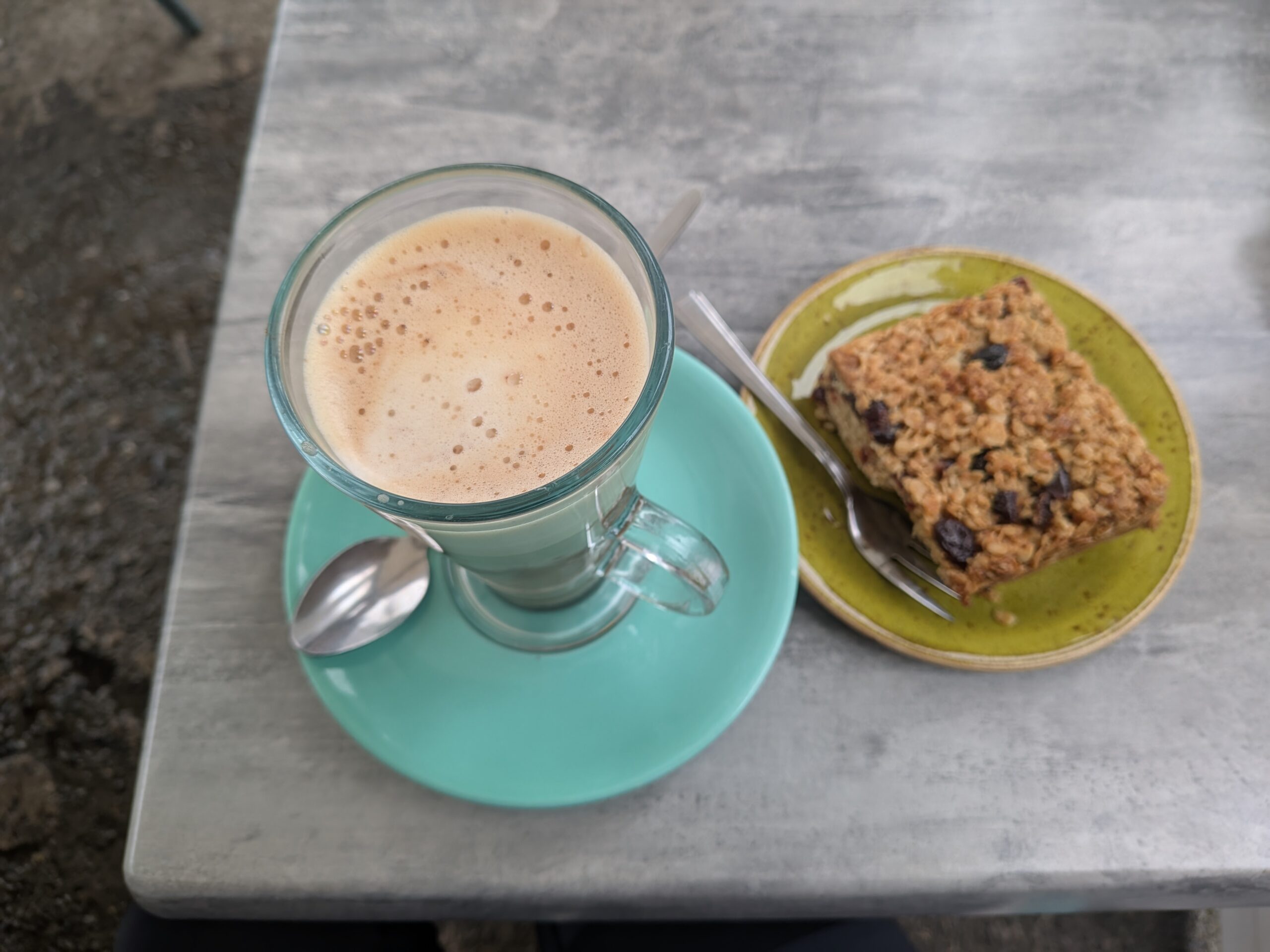
Say what you like about Preston, I’ll say nothing but good things. The city really impressed me while I was looking round. I found a lovely cafe for lunch and sat outside enjoying some people watching and route planning in the sunshine.

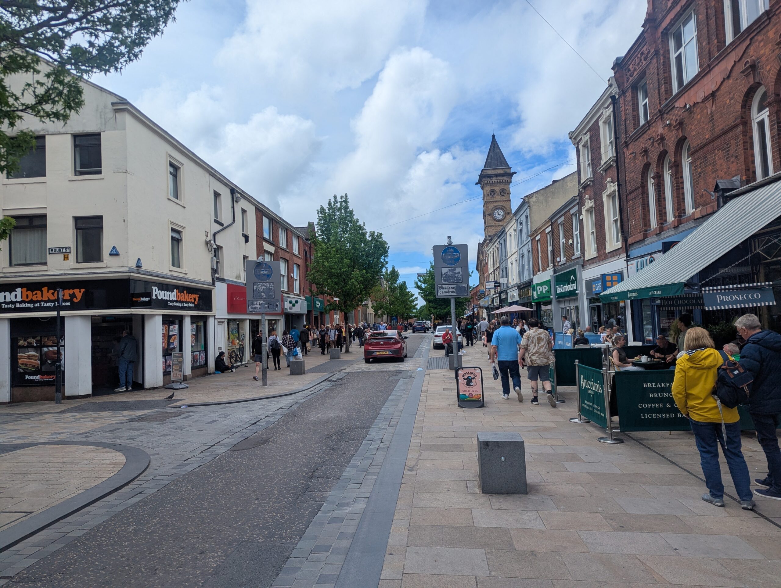
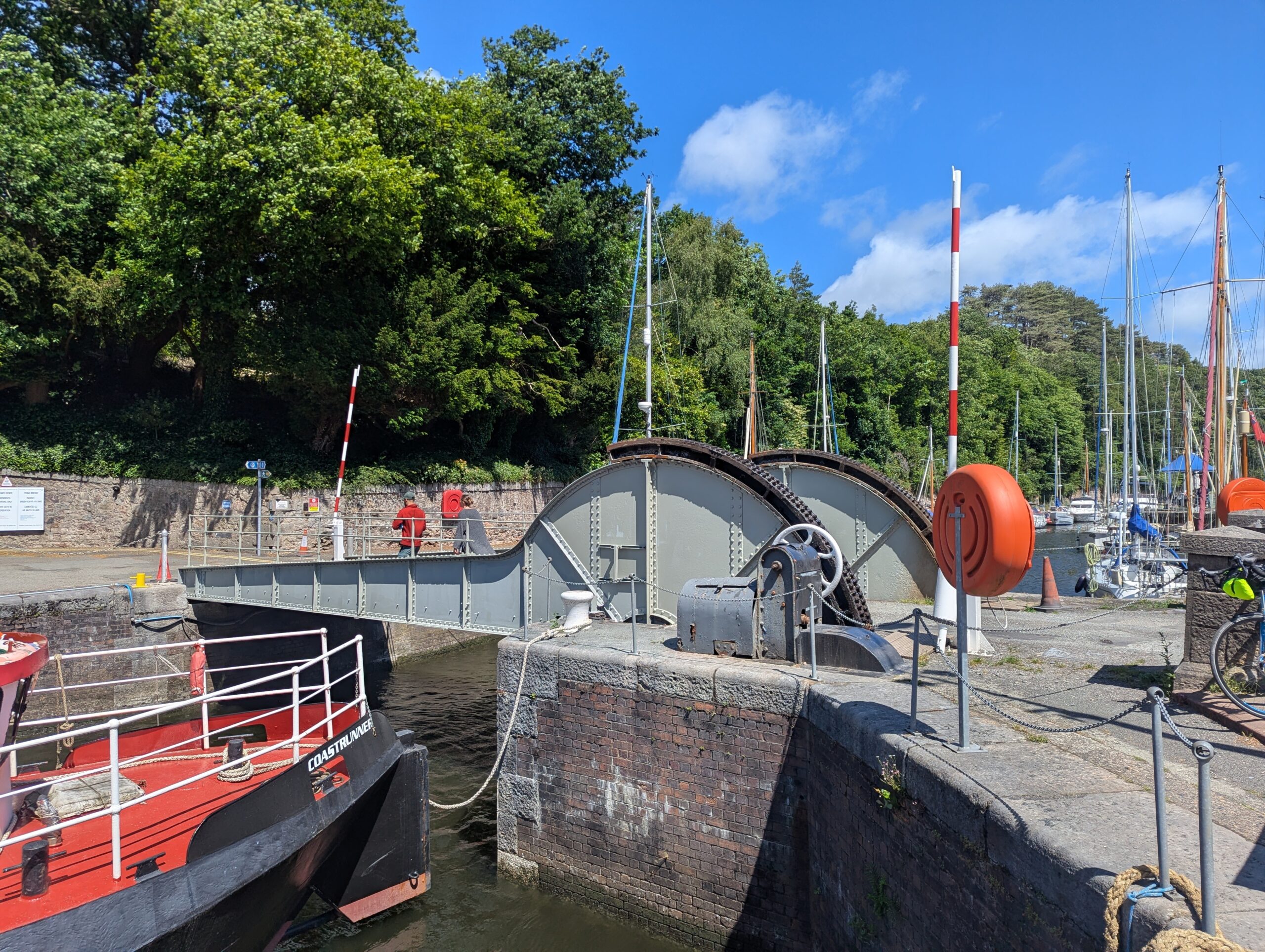
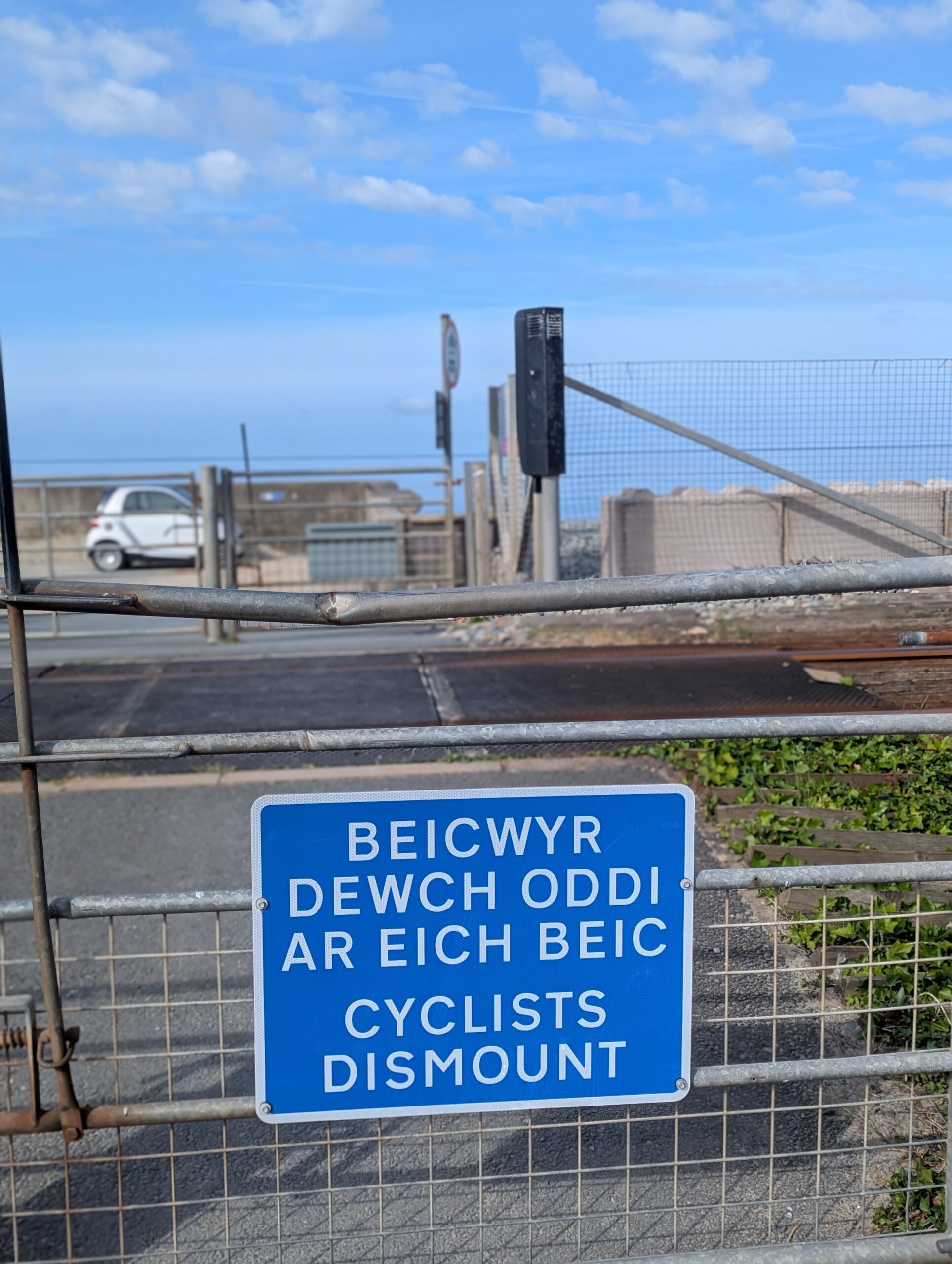
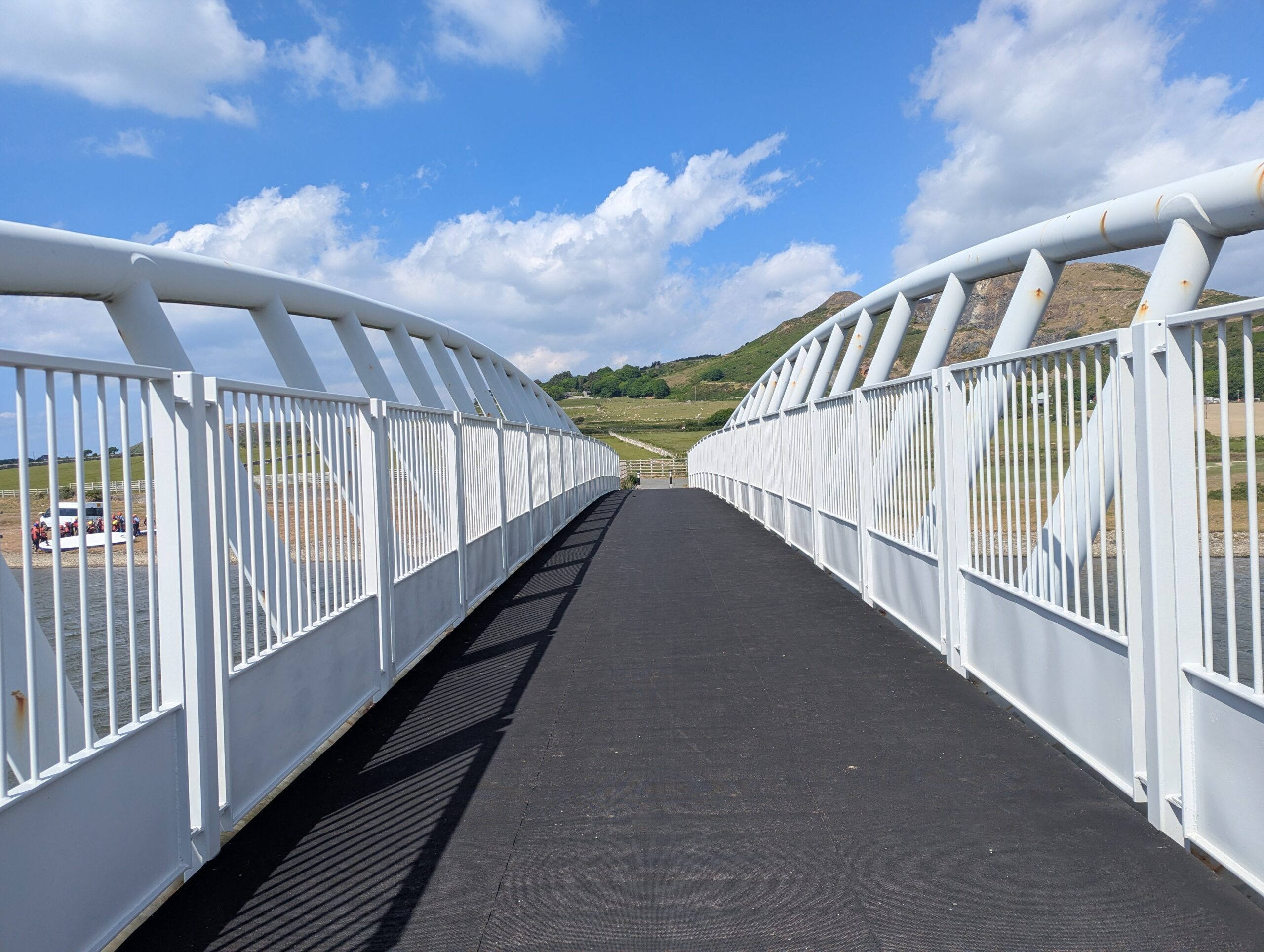
Back through the impressive interchange and on along the north bank of the Ribble through one of the most idiotic pieces of cycling infrastructure I’d encountered on the tour, kissing gates, at Preston Dock swing bridge. Loved the bridge, naturally.

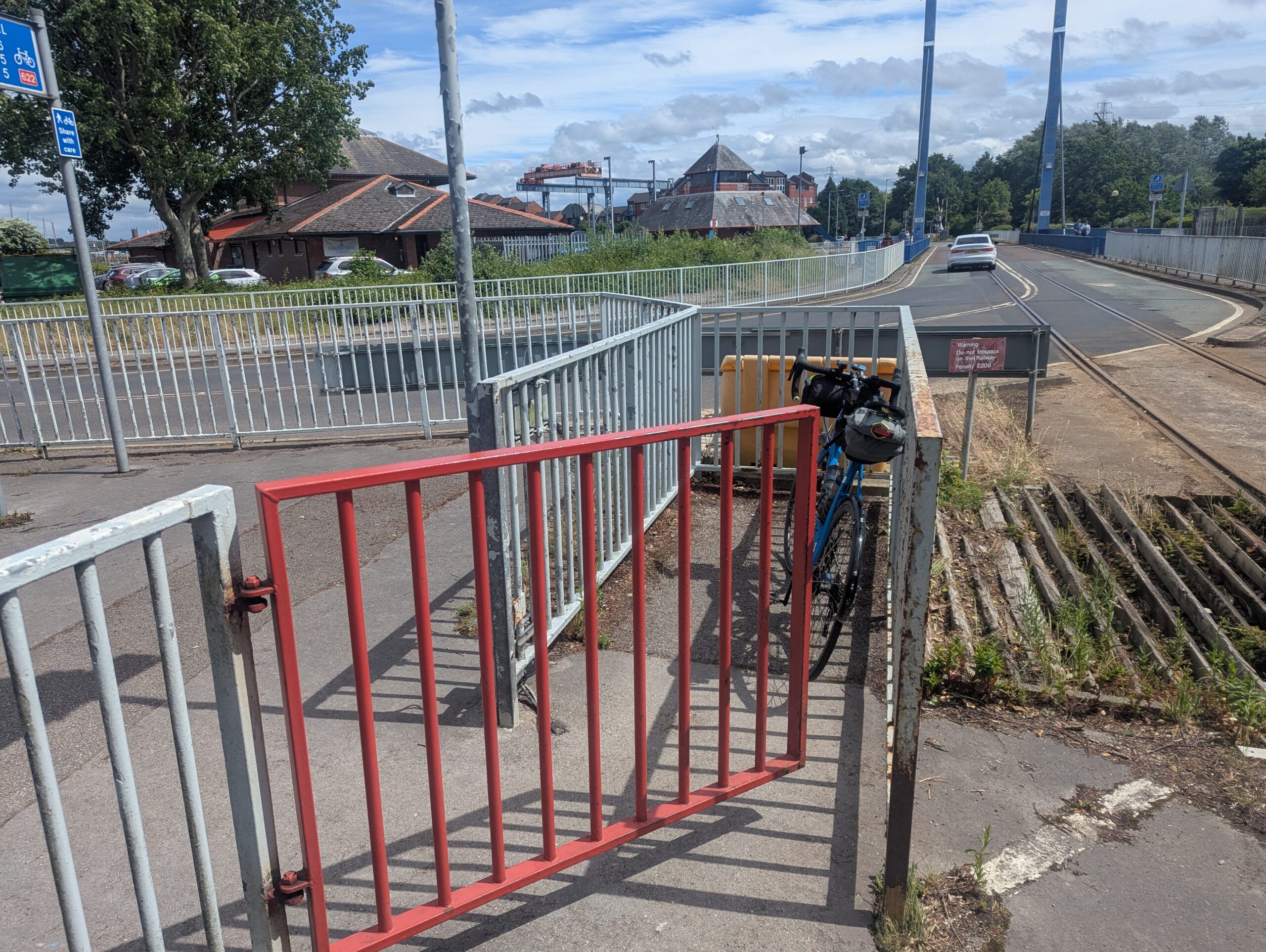
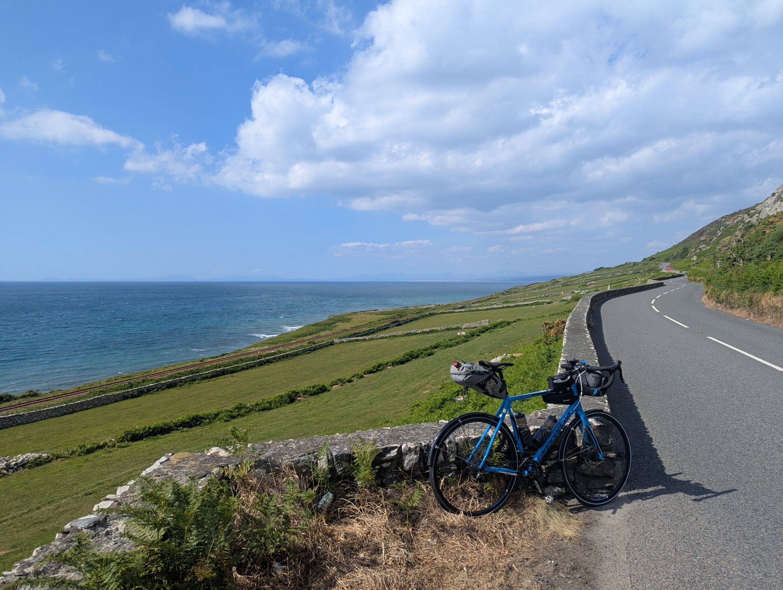
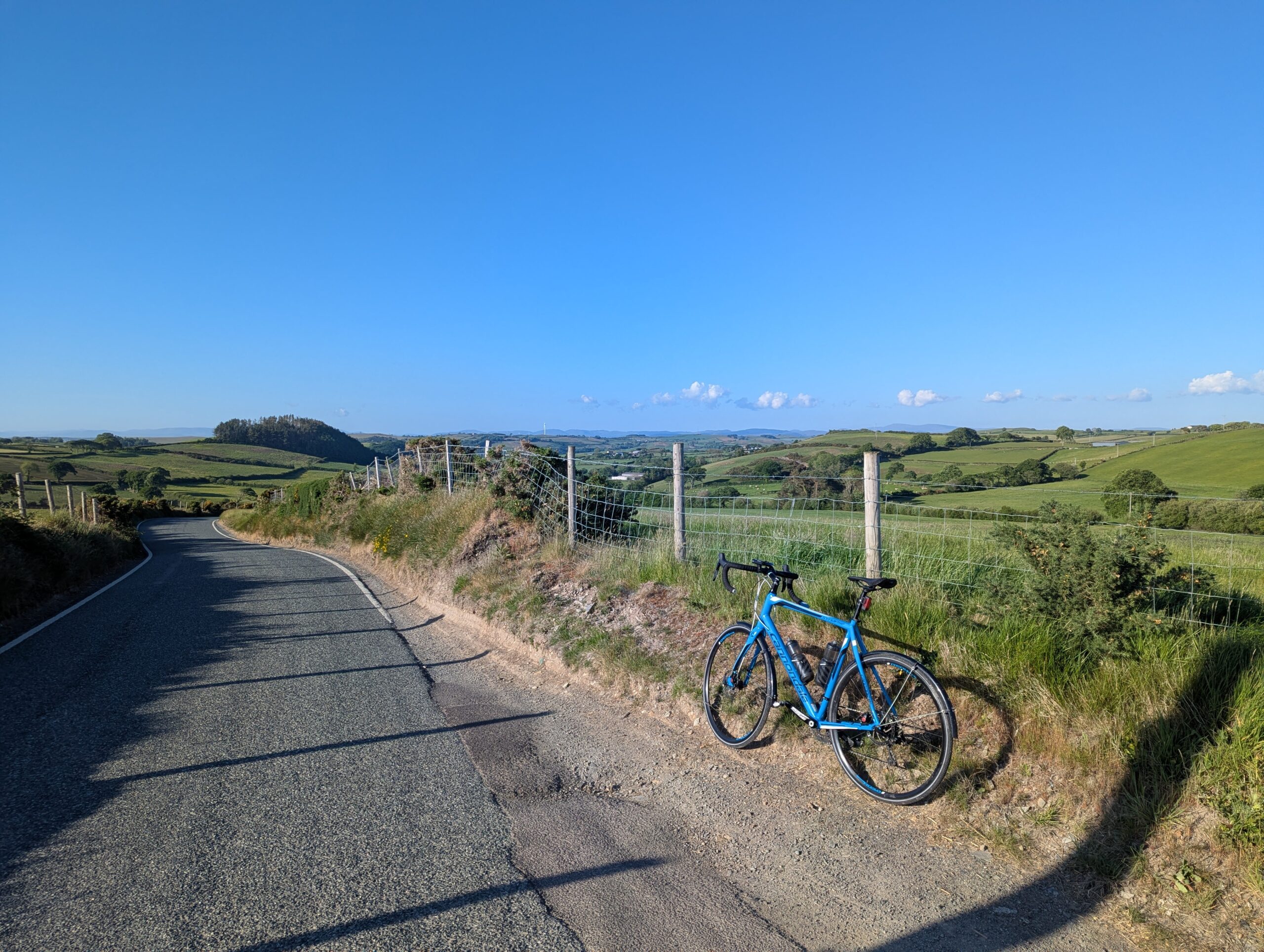
The next few miles, I got something wrong. I was on the A583 and promised a cycle lane. It was there sometimes and not others. I’m sure I’d followed the cycle route signs. The traffic was uncomfortably fast, so I rerouted to some lovely country lanes up into Kirkham.

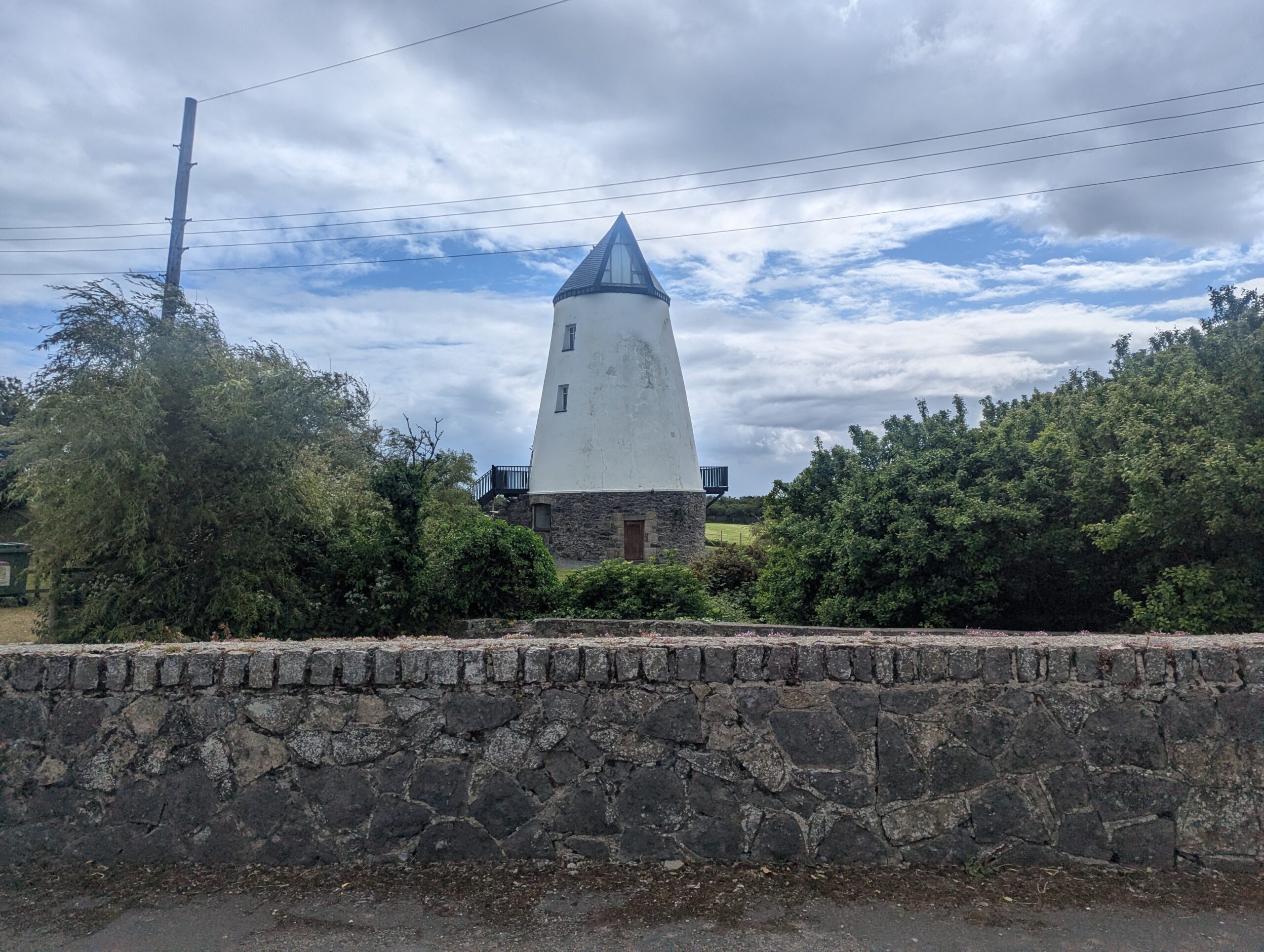
Signs to Lytham St Anne’s meant I was nearly done. I stopped to admire the windmill on St Anne’s seafront and met a cyclist with a lot of bags on their bike. I assumed she was touring, I was wrong. She is training for the self-supported LEL or London-Edinburgh-London a 950-mile ride in August that riders have just over five days to complete. It was lovely finding out about her training rides and she inspired me, I’m happy to confirm I am seriously considering… volunteering to support the riders.

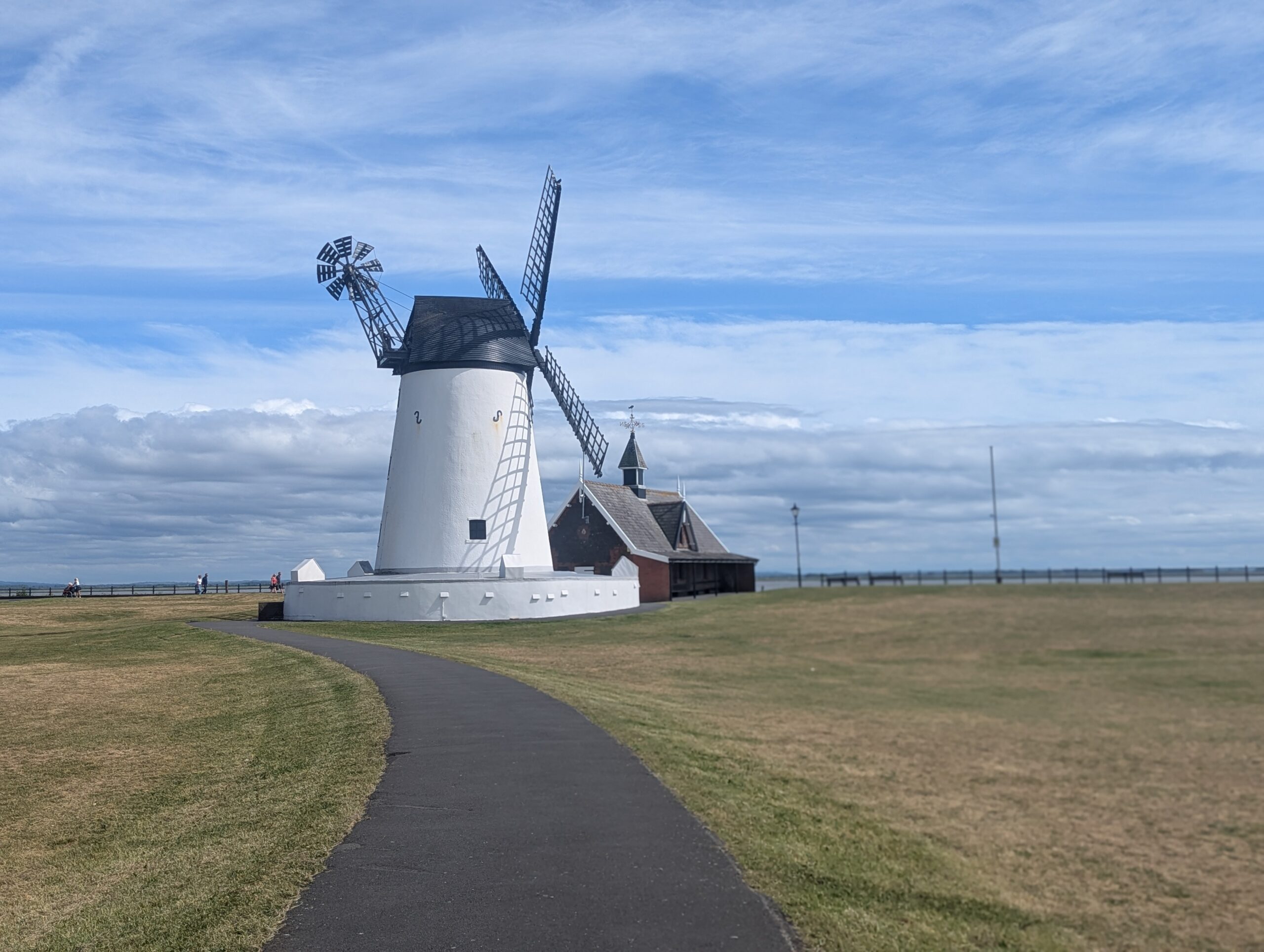
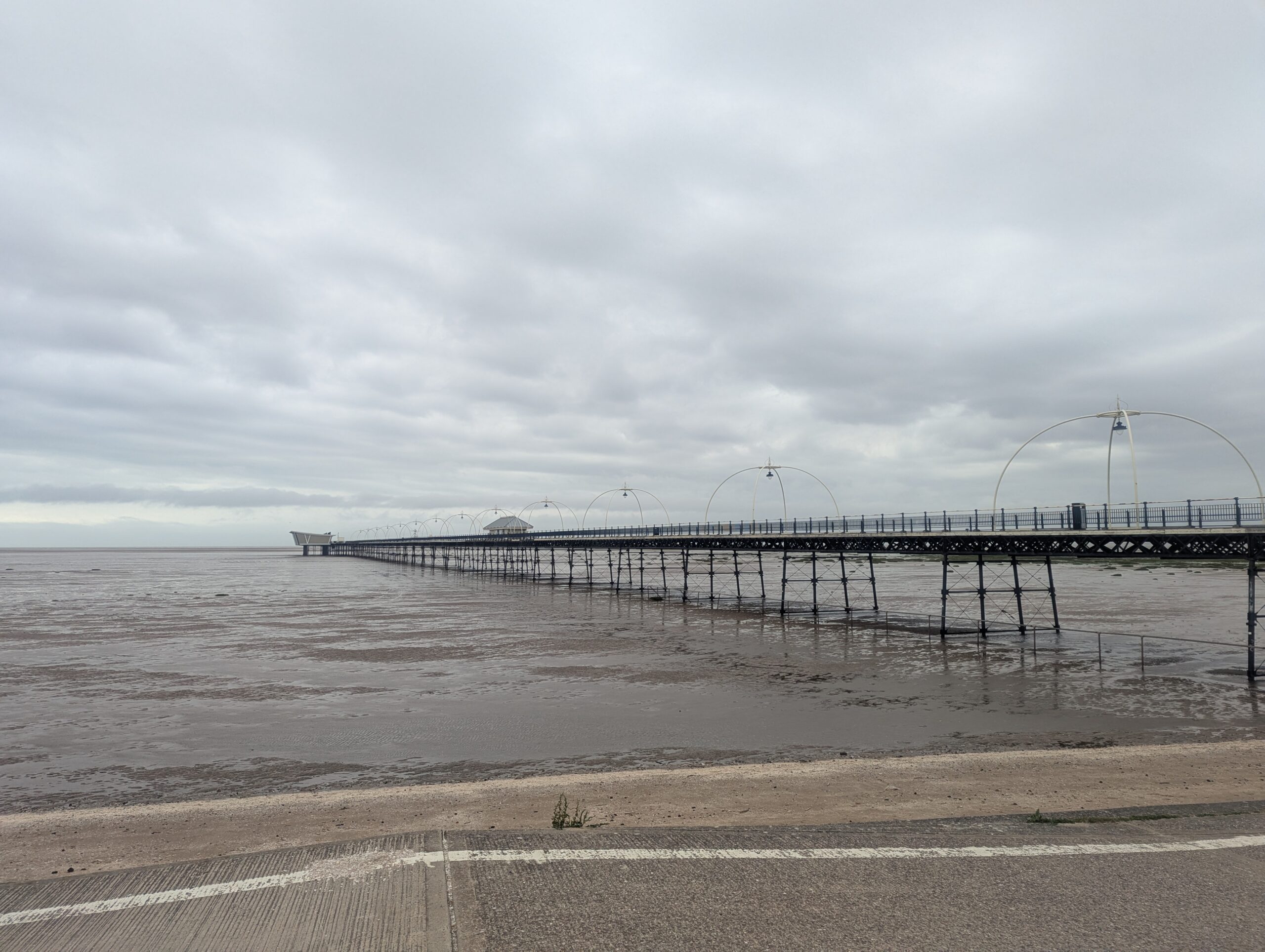
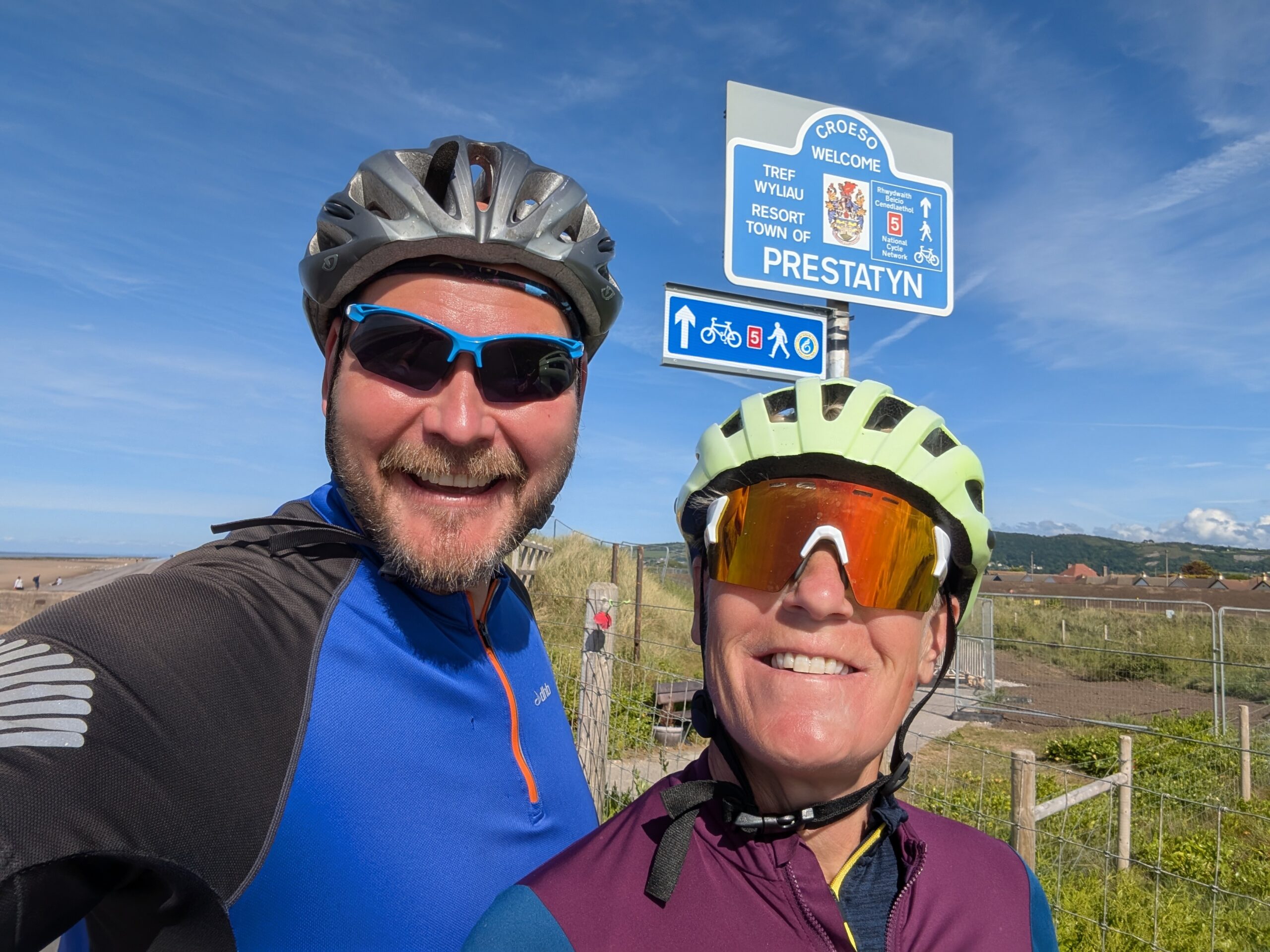
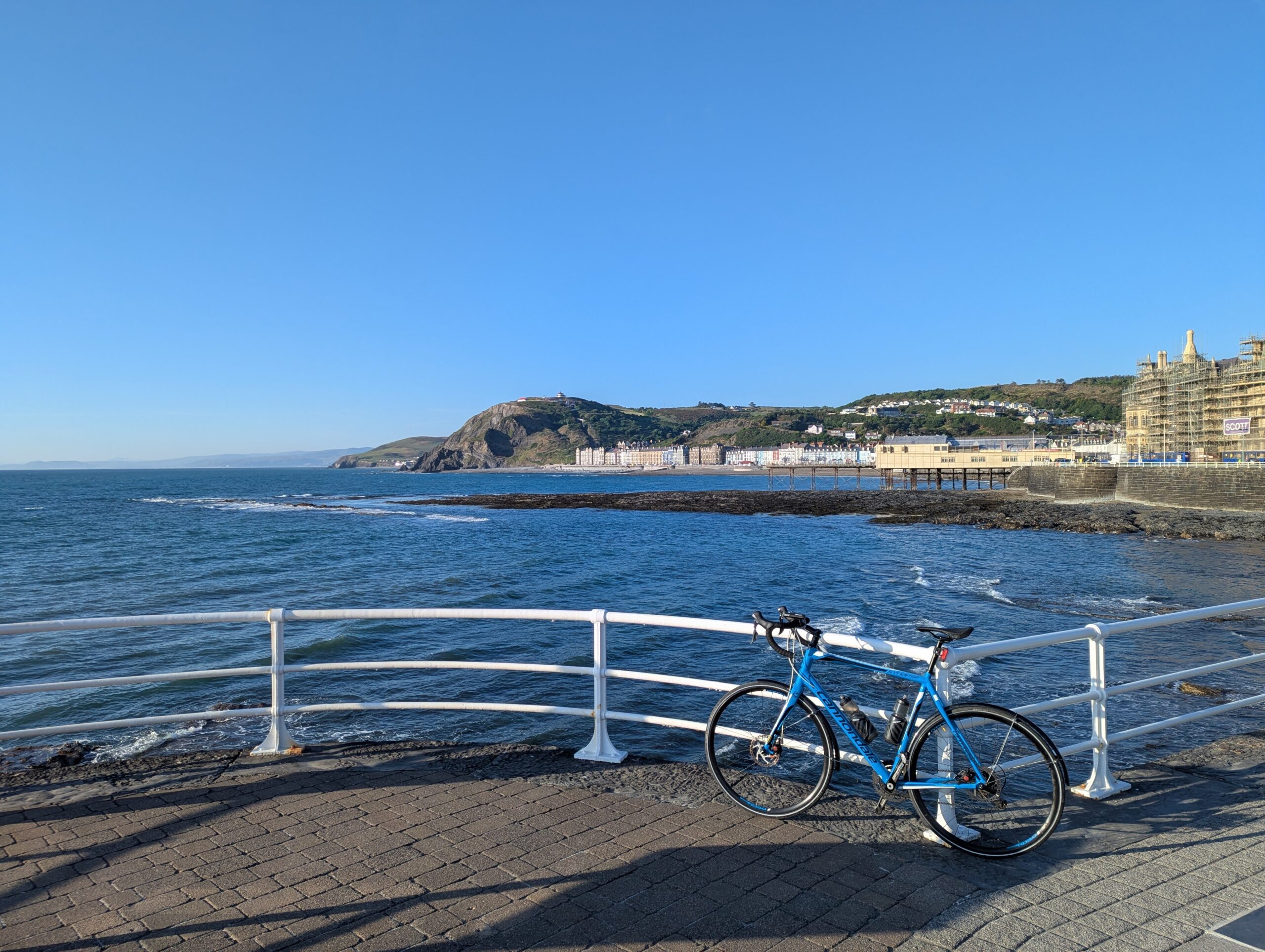
I had a lovely ride along St Anne’s promenade. I’d assumed I’d be able to ride along the seafront all the way into Blackpool, the cycle route moved onto the promenade road out of town and past the dunes the tram tracks and a sun-bleached sign welcomed me to Blackpool.

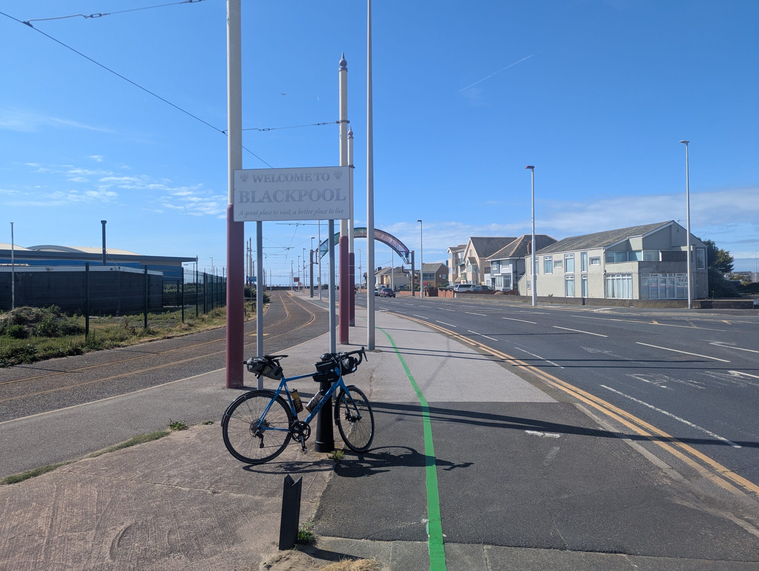
The sun was out and the tide was in as I pedalled up Blackpool promenade. I stopped at the Mirrorball to take a picture and got back on the bike for the final stint. 
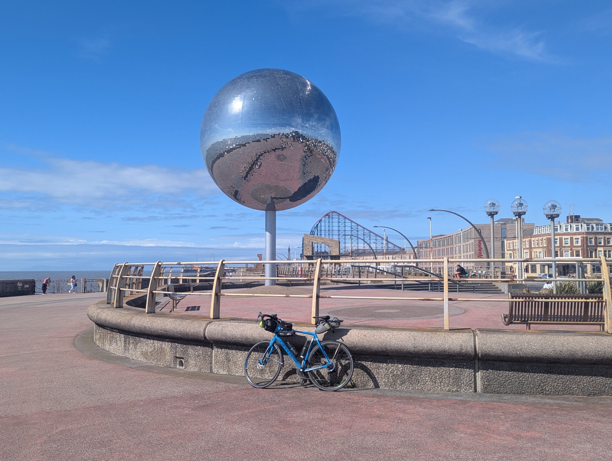
I was struggling to believe I’d actually completed the adventure I’d planned and thought about for so long. I was elated. I arrived back at Blackpool Tower 27 days, 7 hours and 1,432 miles after I left. Shortly afterwards, I was asleep.

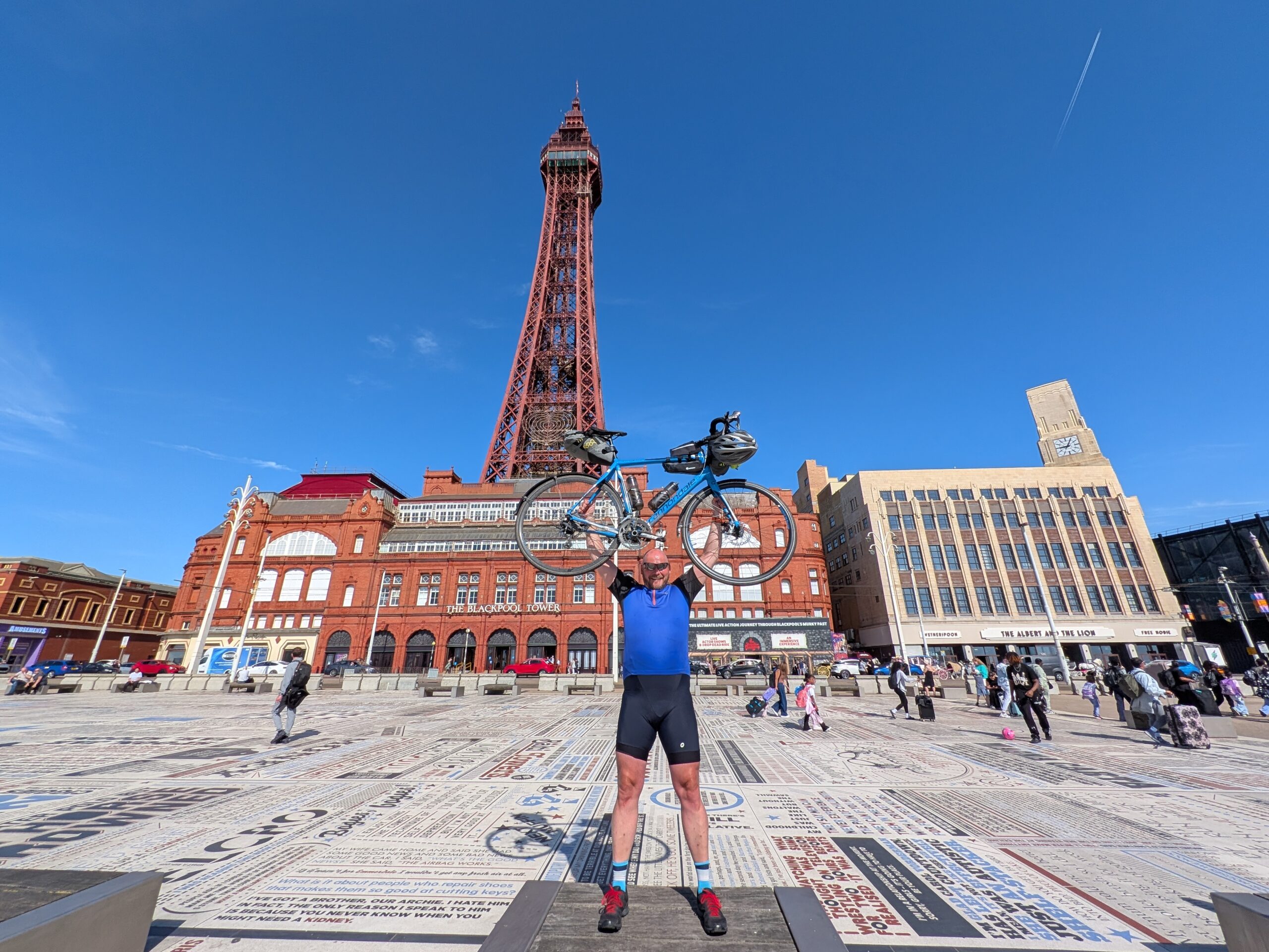
Day totals: 48 miles, 670ft of elevation gain

Tour totals: 1,432 miles, 58,388ft of elevation gain

Categories
Irish Sea Tour

Day 27 – Prestatyn to Southport

Blustery morning in Prestatyn. The sad presence of a closed Pontins waved me off along a path over the golf course through a Haven holiday park with its Burger King and other fast food signs to a lovely path out through the dunes to Talacre. I could see the Point of Ayr lighthouse. I ran out of path before I could get to it.

Southeast along the Flintshire coast by cycle path, road and roadside cycleway. The wind managed to come at me from several directions at once. Flint Castle put me firmly back on Route 5 and it took me down to Shotton.

My mate Andy met me at the Hawarden bridge, guided me up to the border and into Neston on the cycleways treated me to lunch, saw me down to the coast at Parkgate, and waved me off along the Wirral Way.

The Wirral Way is a classic repurposed railway line cycle route. It skirts the east of the peninsula in tree-sheltered tranquillity and delivers me the seven miles to West Kirby’s blustery promenade.

Somewhere on the curve of the coast between West Kirby and Hoylake, I tacked across the wind in a way that I felt it pushing me along when the cycle path joined the promenade opposite the huge red giraffe cranes across the water at the Port of Liverpool.

I sped along the promenade in the sunshine, only occasionally having to slow to negotiate the dangers of sand drifting across the path. Past Leasowe lighthouse, along the Wallasey seafront and onto New Brighton. The seafront around the marine lake and Fort Perch Rock is packed with smiles and ice cream. A few brave souls are braving the water under the careful supervision of RNLI lifeguards.

Twenty minutes and two and a half miles later, I was sitting on the Seacombe Ferry as it made its way across the Mersey to the Gerry Marsden Ferry terminal on Liverpool’s impressive waterfront.

Liverpool offered some functional cycling routes out through the docks. Red traffic lights on the cycleway gave me a few moments to appreciate the Stanley Dock lifting bridge before green meant I could cross. Soon the cycleway became a shared use pavement up to Crosby.

There was a fair at Crosby. I got to see it twice, because the seafront path was covered in sand and not cyclable and I needed to find another way round. A couple of miles up the road at Blundellsands, the cycle path was clear and the wind was with me.

I stopped for coffee in Formby and eight miles later the Sefton coastal path delivered me to Southport.

Day totals: 75 miles, 866ft of elevation gained
Tour totals: 1,384 miles, 57,718ft of elevation gained

Categories
Irish Sea Tour

Day 26 – Llanfairpwllgwyngyll to Prestatyn

We got off early and were only 20 minutes in when we stopped for coffee at Rubens in Bangor. It poured with rain as we rolled down towards the seafront and had cleared up when we stopped to walk along Britain’s Pier of the Year.

I adjusted my brake cables using one of those handy tool stations that are installed next to cycle routes and felt better that I might once again stop if I pulled the levers.

The real story of the day is North Wales’ Route 5 infrastructure. We got our first taste of it heading up to Abergwyngeryn (we stopped for coffee) and Llanfairfechan. A dedicated, protected cycle route built alongside the A55. Okay, it’s not going to win any prizes for interesting riding. It is a perfect way of getting from one place to another under your own steam.

When the road passes under the hills or round the cliffside at Penmaenmawr and Penmaen bach, the cycleway transfers seamlessly to ramps and overpasses and back to the roadside. There is the small matter of a 10% climb to negotiate over Penmaenmawr.

We cruised into Conwy with the sun in the sky and the wind in our direction. Conwy is a beautiful sight on any day. It sparkled in the sunshine, it thronged with tourists and day trippers. It was lovely to see it so busy.

We decided on lunch at the Rest and Be Thankful cafe on the Great Orm. Great views and neither of us grumbled about the climb in the warmth and dryness of the lunchtime sun. We’d have bitten someone’s arm off for that yesterday.

A little essential supplies shopping in Llandudno while I had the chance, and we were off again. The cycleway joins the coast at Penrhyn Bay and sticks to it. The seaside towns came thick and fast. Rhos on Sea wins the most-likely-to-go-back-to trophy for the day.

We were getting used to easy riding, fast and flat. The quarry jetty at Penmaen Rhos had a surprise for us as the cycle track climbed steeply to get over it, when it would happily have passed under it. The sudden, sharp incline caught me off guard and struggling for a gear.

Dopamine levels at maximum as we sped along to Kinmel Bay and its cycleway contraflow s past the sea defence construction work that’s going on along there.

Coffee and ice cream in Rhyl was a chance to assess the day.

Finally we trundled on into Prestatyn. I checked in at my hotel and we headed to the station to get back to Llanfairpwllgwyngyll and pick up Karen’s car so she could get on home.

Day totals: 53 miles, 2008ft of elevation gained

Tour totals: 1,309 miles, 56,852ft of elevation gained

Categories
Irish Sea Tour

Day 25 – Valley to Llanfairpwllgwyngyll

I’d gone back down to Llanfairpwllgwyngyll to meet my sister and we got a hotel there for a couple of nights, the idea being that we could get a train up to Valley where I finished day 25 and ride back to the hotel via the rest of the Anglesey coast.

It was pouring down in Valley when we arrived, so we went for breakfast. It was still pouring down when we’d finished breakfast, so we set off.

A road closure meant we had to use the A5025 to get to Llanfachraeth, then we headed into the hills. Dropping down towards the coast at Porth Swtan, the rain stang our faces. The wind didn’t help us up the hill on the other side.

We went right round Mynydd y Garn at the top of the island and enjoyed a mostly wind-assisted ride on the lanes down towards the Wyfla nuclear power station site. The views would have been incredible, if we could have seen very far.

A Cemaes, Wales’ most northerly village the signs told us, we decided we’d earned our lunch. There was no table available in the cafe we chose. We waited, using the time (and the hand dryer in the toilet) to dry out a bit.

We rode the main road to Bull Bay where I fell over my bike when I was getting off it. I realised I was falling and turned it into a stylish roll (think parkour, or Lee Majors in the Fall Guy). It’ll take a bruised knee over a sprained wrist every day.

After Almwch, if the day wasn’t hard enough already, I saw we could stray from the route plan a little to get a better coast view. It was steeper. We churned out the pedal strokes and for the first time in the day we got a decent view.

Functional main road ride down to Moelfre, including a bonus 10% climb. It was still raining when we arrived at the RNLI visitor centre in the village. It rained while we had a cake stop at Ann’s Pantry – hands down the best piece of flapjack of the entire tour, and it was raining as we climbed the hill out of the village.

Somewhere between Moelfre and Pentraeth, it stopped raining. It was still damp. The trees were still showering us with water. The skies warned that they could precipitate at will. It wasn’t actually raining.

Drying out slowly as we climbed up to Llanddona, we knew we’d beaten the worst of the day. Then we dropped down to Beaumaris and stopped for coffee before making the final push back to Llanfairpwllgwyngyll. We stopped twice on the way, once in Menai Bridge to deal with a cramped calf, and of course at the viewing point to admire the two impressive bridges. After some deliberation, Karen settled on a favourite. She’ll tell you which, if you ask 🙂

The first properly wet day of the tour and easily the lumpiest. I was very glad not to be out there on my own.

Day totals: 61 miles, 4,698ft of elevation gain

Tour totals: 1,255 miles, 54,844ft of elevation gain


Categories
Irish Sea Tour

Day 24 – Four Mile Bridge to Valley


My deferred rest day. A bimble and explore on Ynys Cybi / Holy Island.

First stop Trearddur Bay. It was very windy. The tide was in and the sea was rough. There were people swimming and gaining deserved admiration from onlookers. I ducked into a cafe for a quick coffee and the chance to put my knee warmers and jacket on.

The coast here is more rocky and rugged. The waves crashed and splashed over them in places. A couple had noticed the impressive vertical spray in one place and had clambered out on the rocks to get a selfie at the right moment. Others were watching. Out of amusement or concern, I couldn’t tell.A couple of hundred metres from the clifftop road are the Ty Mawr standing stones. Without fanfare, covered in lichen, the two slim obelisks stand in a field as they have for thousands of years. I spent a moment looking at their alignment. From a certain angle they frame Holyhead mountain. I doubt that’s the key to their mystery.

South Stack lighthouse is impressive. So busy was the RNIB visitor centre that getting up the steep road to the clifftops that overlook it has been a rush-hour moment.

A few miles away on the outskirts of Holyhead is Breakwater Country Park. I wondered what I’d find at the end of the long ride out there. The impressive hole in the mountainside here is what’s left after the rock was used to create Holyhead’s breakwater. The installations here are done really well. Cafe, gallery, exhibition and lots of walks.

Holyhead was a roll away. It’s not a big town and I had time, so I gave myself a tour and finished with coffee and cake that I made last until a downpour had passed.

As port towns go, this one is the most compact I’ve seen. The port is in the centre of town. The high street is linked to the passenger terminal and station by a modern bridge that steps across old docks to give a seamless experience. Sadly though, there isn’t much to draw visitors across the bridge to the high street.

My final few miles were on routes 8 and 5 across the causeway to Valley where I’d start the next day’s ride with my sister.

Day totals: 22 miles, 1,232 ft of elevation gain

Tour totals: 1,195 miles, 50,146ft of elevation gain

Categories
Irish Sea Tour

Day 23 – Caernarfon to Four Mile Bridge

Rest day! A chance to explore Caernarfon some more.

Over breakfast I was looking for a hotel in Bangor and planning a gentle bimble over there in the afternoon. The forecast for the rest of the day was windy and sunny. Tomorrow’s forecast warned of heavy rain all day and gale-force winds in the afternoon. I changed my plan.

Bank holiday weekend meant accommodation wasn’t easy to find online, so I looked in the area around Holyhead and rang a few. Half an hour later, I’d booked. My rest day had turned into a full afternoon of cycling.

Route 8 from Caernarfon to Bangor is a well-used multi-use path. Plenty of people out and about. A stiff breeze pushed me along.

At Y Felinheli, the waterfront looked Mediterranean. The wind knocked the bike over as I was taking a photo.

The little dock in the village had an amazing steel lifting bridge with a huge cog mechanism. Sheltered here, it was suddenly very warm.

I’d wanted to cross both bridges to Anglesey on this trip. Traffic on the A55 normally slows as it crosses the Britannia Bridge and plenty of people cycle across. That thought was scuppered by the high winds signs, which put a line through caravans, motorcycles, and bicycles.It meant a detour adding a couple of miles to the day. And it meant a date with Telford’s masterpiece, the Menai Bridge, a couple of days earlier than expected.

I wound Route 8’s winding way through Menai Bridge to Llanfairpwllgwyn and took the obligatory photo at the station. It’ll not be the only time I visit in the next few days.

I took the A4080 along the south coast of Anglesey. More than an hour slogging against the wind with rain threatening all the time. At Newborough, some local people in Hi-Viz were standing behind road closure signs telling drivers they couldn’t go down to the beach. I had a chat with one of the team who told me I could go down. I asked if it was worth it and was told its the best beach in the world. I asked how far it was down there. A couple of miles… Into a headwind? Another day perhaps.

I missed the turn for the Malltraeth costal cycle path. The road was quiet and I reached the village quickly.

Somewhere near Bethel, head down against the wind, I took a wrong turn. I wound through tiny high-hedged lanes, mostly protected from the worst of the wind. At Bryn Du, I passed two converted windmills, which could have been highly productive this afternoon, if they still had sails.

I was really grateful when the familiar blue Route 8 appeared again. They took me up towards the A55 and turned back towards RAF Valley. If there was a windier place on earth than RAF Valley that afternoon, it would have been uninhabitable.

At Valley, I knew I had just over a mile to go. It was a hard mile. I finished at Four Mile Bridge.

Day totals: 39 miles, 1,6999ft of elevation gained

Tour totals: 1,172 miles, 48,914ft of elevation gained

Categories
Irish Sea Tour

Day 22 – Aberdaron to Caernarfon

Categories
Irish Sea Tour

Day 21 – Barmouth to Aberdaron

Breakfast at the Lobster Pot on Barmouth’s quayside in the sunshine. Locals picking up their first coffee and discussing boat, fishing and weather issues. It was very relaxed.

Leaving town, I followed the cycle route along the seafront, across the railway line via a gated pedestrian crossing, and up a cliff. The designated cycle route was so steep, it should have had steps. I made it to the first corner and thought it safer for me and the walkers heading down if I pushed the bike up.

St Mary’s and St Bodfan’s church on the cliff side just outside town is home to as varied a collection of gravestones and memorials as exist anywhere outside a Hollywood director’s imagination. Every one of them looks out on the seascape.

There can be no nicer place than Harlech to stop for coffee on a morning like this.

I ready myself for the task to come: cycling the “steepest road in the world”. (No, I’m not heading to New Zealand, Harlech have neglected to amend the signs). I took a deep breath, put my head in the right place and set off.

The descent was a bit hairy in places. I took it easy and trusted my brakes. That being its own leap of faith. If we measured the cycle path back in Barmouth, I’m sure we’d see it’s steeper.

At Penrhyndeudraeth I met a cyclist who is taking a week to cycle the Lôn Las cycle route (route 8) from Chepstow to Holyhead. Turns out we stayed in the same hotel in Barmouth last night.

Porthmadog was busy. Route 8 crosses William Madocks’ impressive causeway on a path beside the road. I missed the turn and rode across with the traffic.

A little cyclists’ chicane helps riders avoid the ignominy of a pratt fall caused by getting a wheel caught in the tracks that take the Welsh Highland Railway across the road towards Snowdon and Caernarfon. I turned down for a look at the quay.

A few miles away on Criccieth, some friends, Bethan and Aled, put on a lovely lunch for me. Aled wore especially a Welsh flag T-shirt that had a red bicycle on it rather than a dragon. We nattered for ages in the sunshine and I left with instructions on how to get to the Lloyd George Museum in Llanystumdwy (and coaching on how to say it!)

Lloyd George chose to be buried here, in his favourite spot overlooking the river a few miles from where he grew up. The monument is entirely suited to its surroundings. The museum across the road is a gem. Polished, professional and using the perspective time allows to offer an reasonably balanced view of one of our most consequential national leaders.

Two stops in the middle of the day. I was definitely running behind. There’s a bike path from Llanystumdwy all the way to Pwllheli. Another cyclist caught me and said something about the wind in Welsh. I agreed. We were cycling straight into a strong headwind and it was making the going tough on what should be an easy stretch.

Dewi was cycling from his home in the heart of Snowdonia to the family caravan near Aberdaron. Fifty-five miles and som very big hills. He was very tolerant of my attempts at Welsh. He understood that I’d been cycling for 21 days and that I started in Barmouth this morning and was heading to Aberdaron. Then he kindly eased into English.

We stopped in Pwllheli as a fuel stop and talked routes. Bethan and Aled had talked to me about the Rhiw, a steep climb a few miles before Aberdaron. Over lunch, we looked at alternative routes. Dewi told me his route and said I should go for the Rhiw. As we set off on our different journeys to the same place, I put it on hold for a decision later.

There was a lot of traffic heading west down the peninsula for the bank holiday weekend. It was a parade of posh 4x4s with personalised plates. It was a relief to reach Abersoch, where it seems they all park.

I had a quick coffee and made my route decision, reasoning that I’m only here once and I’m not afraid of a hill. Twelve miles, ten of which are ‘mostly flat’, or downhill. Don’t look at the other two!

It started to rain. Proper rain for the first time on the tour. Six miles in, I reached the bottom of the hill. I settled in, felt good, knew that just like in Gwbert on Monday, I needed to plug away. Keep pushing the pedals and eventually I’d get there. That didn’t work for long. The problen with this hill is that you can see it rise straight ahead. It’s a uniform climb, so no change in tempo, no comparative rests. It didn’t beat me. I used strategy and tactics to tackle it. I walked.

Nearing the top a local in their garden congratulated me on making it. I took those congratulations. I deserved them.

To mark the achievement, the skies opened. I couldn’t see through my riding glasses and without them the rain stung my eyes.

The door of the hotel I’d booked has a ‘cyclists welcome’ sticker at the entrance. Reception told me they had nowhere to store my bike. The owner apologised, telling me there wasn’t any room on a bank holiday weekend and that I was welcome to lock it to the bench out front or perhaps the railings round by the church.

I know it’d be unlikely anything would happen to it in a remote little village like this, I’d just like it to be out of sight. Just then I had a message from Bethan, telling me I was mad for cycling over Rhiw. I asked if she knew anyone in Aberdaron who I could leave the bike with.

Shortly, I received instructions to wait by the local public toilets to meet a man I didn’t know – a dodgy pursuit in other circumstances. A few minutes later the bike was stored safely in a garden and I could relax.

Day totals: 58 miles, 2,792ft of elevation gained

Tour totals: 1,092 miles, 44,902ft of elevation gained

Categories
Irish Sea Tour

Day 20 – Aberystwyth to Barmouth

When you’re sitting on your bike on Aberystwyth promenade, there’s only one direction if you want to head north. That’s up. It was rush hour as I pushed the pedals up university hill. Most of the traffic in the other lane heading into town. I congratulated myself as I reached the student village, turned left and started to descend. Then a big red sign FFORDD AR GAU ROAD CLOSED. I got off and started to walk on down the road to see if I could sneak past whatever work was happening. A guy in hi-viz and a hard hat a way down the road communicated to me in the international language of gesture that my chances of success were non existent. I turned round and climbed the hill again. My detour was quick. It added four miles.

The coast road from Aberystwyth to Borth has some sharp and nasty hills. My favourite road sign of the trip appeared just before the drop into Borth, telling me there was a 25% decline while I was still very much climbing up.

I could see Aberdyfi less than two miles across the estuary from Ynyslas. It was more than 20 miles by road.

In Machynlleth, I celebrated passing the 1,000 mile mark for the tour with coffee and a toastie at the very colourful Hermit Crab Coffee.

On the old bridge, I crossed into Gwynedd county and Eryri national park. A guy was sitting on the wall with his bike on the floor. I asked if everything was okay, he smiled and confirmed it was.31W

Pennal boasts the most diverting little church, which is brimming with history and the Welsh Pub of the year, the Glan yr Afon. The church was open, the pub closed.

Aberdyfi demanded that I sit in the sunshine and sample the local ice cream. The bike guy from the bridge in Machynlleth was doing the same across the street. A group of wet-suited young people were lying down on the jetty looking out over the edge to the water three or four metres below. I watched with admiration as one-by-one they stood and, under their instructors’ guidance, stepped off the edge into the water below.

I passed bridge bike guy on the way to a very windy Towyn. A few people were sunbathing sheltering from the wind in the lee of the groynes on the beach, most were wrapped up enjoying the view. Twyn is a little town with big ideas. It has every amenity a weary traveller could expect. And as attractive as the options were, just four miles on from aberdyfi it was too soon for another break.

A shiny new shared use bridge allows pedestrians, cyclists and horse riders to cross Afon Dysynni right on the coast. It’s a safe, level route that’s a mile and a half shorter than following the road.I passed Bridge Bike Guy again and he passes me while I’m taking a break on a bench at Rhoslefain. It was starting to feel like the world’s most protracted game of cat and mouse.

I was spoiled with views on this stretch. The sun is out, the outline of the Llyn Peninsula sits on the horizon. I’ll be cycling there tomorrow. Speeding down one of the slopes, I overtake Bridge Bike Guy again.

The Mawddach Trail follows nearly ten miles of the route of an old railway line alongside the stunning Mawddach Estuary, joining Dolgellau and Barmouth. I join it at Morfa Mawddach and follow it up to the main event of the day, the Barmouth railway viaduct.

This listed engineering marvel has 113 wooden spans that stride half a mile across the sands to meet an impressive steel bridge with two bow arches and two simple spans. The Mawddach estuary is a harsh environment. Corrosion, sea woodworm, and rot have meant the bridge has been totally rebuilt several times, most recently in 2020-2023. Despite all the rebuilds, it’s the same bridge that has stood here since 1867. Ask Trigger.

The footpath over the viaduct is made of large wooden sleepers which each spans the width of the walkway. Quite a few are loose and strike a note as my tyres roll over them. It’s like playing a huge glockenspiel, and I set my mind to the possibilities of tuning it to play a little ditty as cyclists roll over.

The train passes as I’m inspecting the steelwork on the part of the bridge that used to swing to let shipping traffic through. I’m in Barmouth and that’s the end of my ride.ForrhoeFor those of you who are still with me, an hour later I was sitting in the bar of a seafront hotel when Bridge Bike Guy pedalled past heading north.

The sunset was gorgeous. Phot after stats.

Day totals: 58 miles, 2,988 ft of elevation gained

Tour totals: 1,034 miles, 42,110 ft of elevation gained.


Categories
Irish Sea Tour

Day 19 – Cilcennin to Aberystwyth

This was an enjoyable bimble through the Ceredigion coastal hills to keep my legs moving on a rest dayI picked up at Cilcennin and aimed for Aberystwyth avoiding the A487.

The roads were quiet and the views were astounding. From the Cardigan Bay to the Cambrian mountains in the distance.

Through Cross Inn, then to Llangwyrfon and into the Ystwyth Valley. I joined the A487 at LLanfarian for a few hundred metres, then cycle route signs directed me into a housing estate.

I picked up the Ystwyth trail which, in the grand tradition of these things followed an old rail route into Aberystwyth. Aberystwyth was in full summer mode with families and students enjoying the beach and seafront in the sunshine.

Day totals: 18 miles; 1227ft of elevation gain

Tour totals: 976 miles; 39,122ft of elevation gained